Pisgah Crater
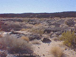
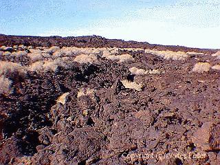
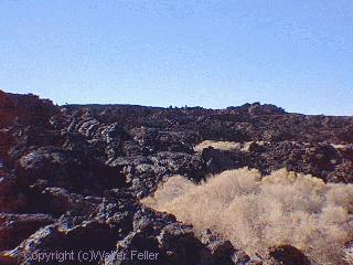
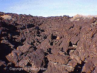
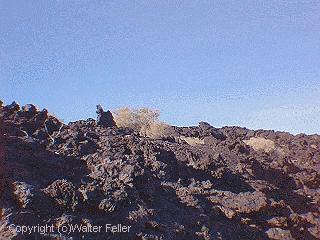
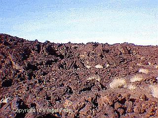
Lavic Lake (Pisgah) is a lava field in the Eastern Mojave Desert, California that consists of numerous thin flows that extend from the vent about 11 miles (~18km) to the west and 5 miles (8 km) to the southeast. Pisgah lava field is predominantly pahoehoe with some aa. Because of the fresh nature of these flows Pisgah's activity is considered to have been recent.Pisgah is to the north and Sunshine Cone to the south.
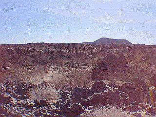
Pisgah Crater is the youngest vent and is a cinder cone that dominates the surrounding landscape with a height of 321 ft. (98m) and a base width of 1,600 ft.(488m). It is presently being mined for aggregate.
Pisgah is just east of Barstow, CA. off National Trails Highway (old Route 66) Exit Hector Road (off the Interstate 40) then go east on National Trails Highway for about 2 miles and its on your right side. [1]
The Lavic Lake volcanic field contains four late Pleistocene cinder cones, three in the Lavic Lake area and a fourth in the Rodman Mountains 20 km (12.4 mi) to the west. Pisgah Crater, a 100-m-high (328 ft) cinder cone, is the most prominent feature of the basaltic lava field. Nearby vents were the source of dominantly pahoehoe lava flows that traveled 8 km (5 mi) southeast to Lavic Lake and in a narrow lobe that traveled over alluvial-fan and lake-bed deposits as far as 18 km (11.2 mi) west of the vent. Argon radiometric dating yields an age of 18,300�5,200, and a chlorine surface-exposure age is 22,500�2,600. For the Pisgah Crater lava flows, paleodirection sampling yielded directions that add no additional constraints on the isotopic ages mentioned. Another youthful looking, but undated cinder cone and lava field of the Lavic Lake volcanic field is located in the Sunshine Peak area of the Lava Beds Mountains, south of the better known Pisgah Crater. [2]
 -
-  -
- 
 -
-  -
- 
 -
-  -
- 
 -
-  -
- 
 -
-  -
- 
 -
- 
Text source: USGS
