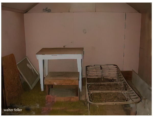
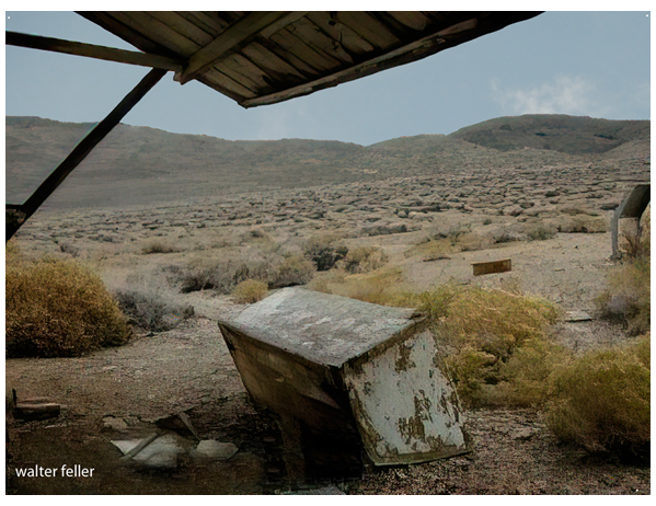
Aguereberry Camp


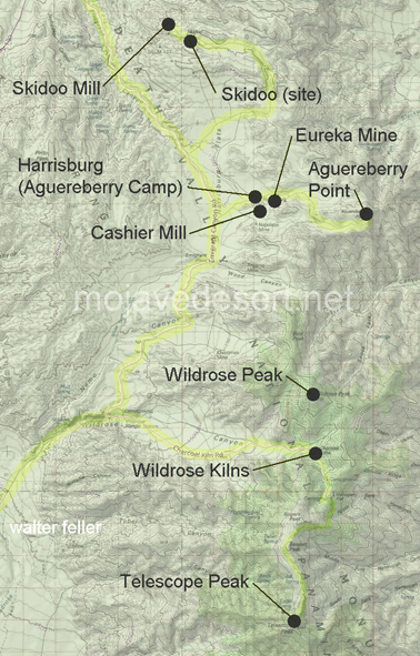
| Skidoo Mill | Skidoo (site) | Harrisburg |
| Eureka Mine | Cashier Mill | Aguereberry Point |
| Wildrose Kilns | Wildrose Peak | Telescope Peak |
Ecology: Panamint Range - 341Ff
Regional Geology: Northern Panamint Region
Old-time prospector
Shorty Harris
and greenhorn
Pete Aguereberry
found a promising looking ledge in the Panamint Mountains. Pete
stayed behind and started working the claim, Shorty went ahead to file on
the
Eureka Mine in "Harrisberry". By the
time Shorty had the papers completed and his tales told, word had gotten out on
what had become known as "Harrisburg". Soon, over 300 people were living
in tents near the camp. Only one -- Pete Aguereberry -- persisted
working the claim for over forty years.
Aguereberry Point
Elevation - 6,433 ft. It is easy to see why Pete Aguereberry enjoyed sharing this spectacular ...
Prospectors & Miners
Once the prospectors made their discovery, they would ...
Pete Aguereberry
Death Valley Prospector and Miner
Shorty Harris
Old-time prospector Shorty Harris and greenhorn Pete Aguereberry found a promising looking ...
Death Valley Mining History
Death Valley has experienced over 130 years of ...
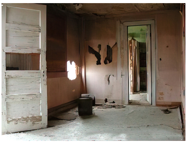
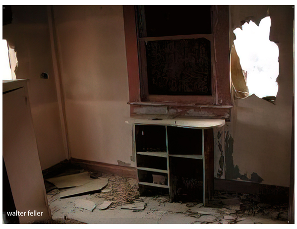
Death Valley Ghost Towns
The towns would come and go with the money ...
Skidoo
... John Ramsey and John (One-Eye) Thompson were headed towards the new gold strike at Harrisburg. ...
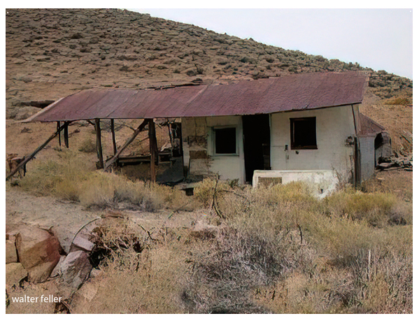
Eureka Mine & the Cashier Mill
He was found and nursed back to health and lived to work his claim in the Eureka Mine ...
Ecoregion Notes:
Southern Great Basin
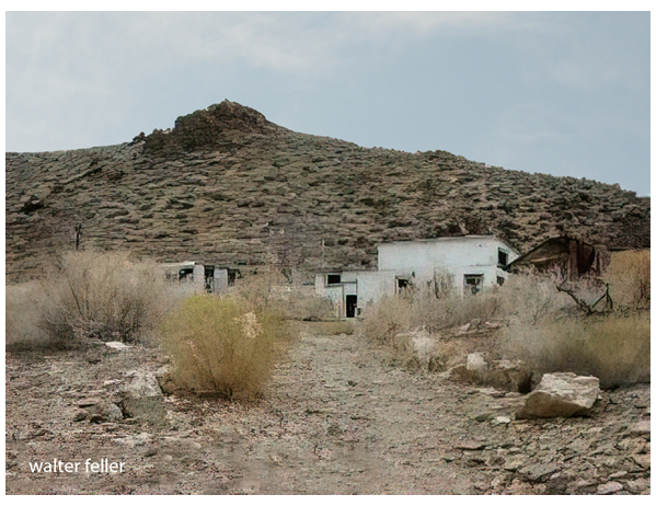
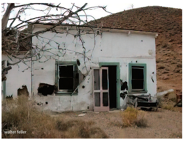
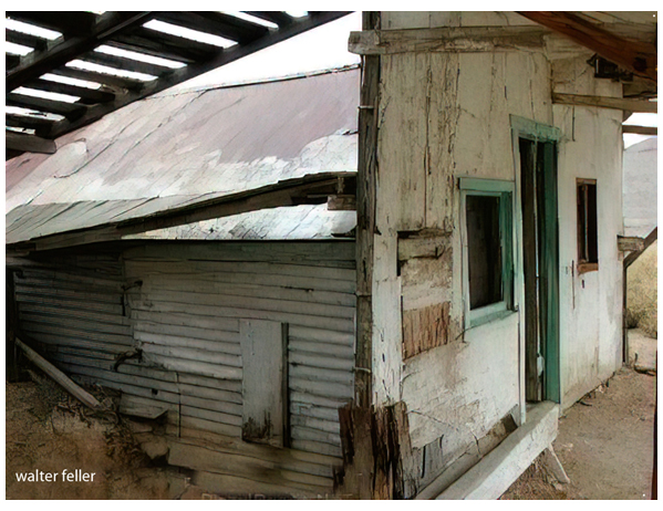
Harrisburg
Location and History. Harrisburg or Harrisburg Flat is in east-central Inyo Count)' in Death Valley National Monument. It is about five miles north of Wildrose Canyon and nine miles south of Skidoo. Gold was discovered here in 1905 by Shorty Harris, one of the most colorful and best-known "singleblanket jackass prospectors" of the Death Valley region. He was also the first settler in Rhyolite, Nevada. Harrisburg, which was mainly a tent cit\', lasted for only a few years. The chief source of gold in the district was the Independent or Cashier mine, which had an output valued at about S3 00,000.
Geology. There are several lenticular north- to northwest-striking gold-bearing quartz veins in dolomitic limestone. Granitic rocks also crop out in the area. The ore contained free gold and some sulfides. Much of the ore averaged about one ounce of gold per ton, but the values do not extend to depths of more than 150 feet.
Bibliography
Norman, L A., Jr., and Stewart, R. M., 1951, Inyo County, Independent mine: California Jour. Mines and Geology, vol. 47, p. 44.
Waring, C. A., 1919, Inyo County, Cashier mine: Californio Min. Bur. Rept. 15, pp. 75-76.
Harrisburg
Location and History. Harrisburg or Harrisburg Flat is in east-central Inyo Count)' in Death Valley National Monument. It is about five miles north of Wildrose Canyon and nine miles south of Skidoo. Gold was discovered here in 1905 by Shorty Harris, one of the most colorful and best-known "singleblanket jackass prospectors" of the Death Valley region. He was also the first settler in Rhyolite, Nevada. Harrisburg, which was mainly a tent cit\', lasted for only a few years. The chief source of gold in the district was the Independent or Cashier mine, which had an output valued at about $3,000,000.
Geology. There are several lenticular north- to northwest-striking gold-bearing quartz veins in dolomitic limestone. Granitic rocks also crop out in the area. The ore contained free gold and some sulfides. Much of the ore averaged about one ounce of gold per ton, but the values do not extend to depths of more than 150 feet.
BULLETIN 193
California Division of Mines and Geology
Sacramento, California, 1970
