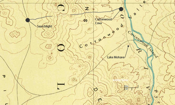
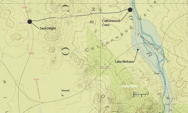
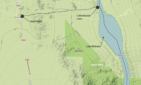
History of Cottonwood Island
Cottonwood Island , quite lush with grasses and cottonwood trees, was a perfect place for the miners to raise their stock.
In 1867, the Army made the island an outpost. They pastured their cattle and assigned a small detachment to tend them, but a flood the same year drowned or scattered most of the herd. None of the cattle was found.
Gold was discovered around Searchlight in 1897. The first claim became known as the Duplex Mine. The Quartette Mining Company built a 20-stamp mill on the Colorado River, and in 1901 and 1902, constructed a 16-mile narrow gauge railroad from the Quartette Mine to the mill. Railroad equipment was brought in by barge from Needles. The locomotive carried ore to the mill and, occasionally, passengers rode down to the steamboat port. The locomotive could run on oil from Searchlight or driftwood from the Colorado River. For safety, it was never turned, but always headed toward Searchlight. Operations of the mill and railroad stopped when a new mill was built in Searchlight. In 1906, the river mill was relocated at Searchlight, beside the new building. The rails were sold to J. F. Kent, removed, and used on the Yellow Pine line from Jean to Goodsprings in 1910. The foundations of the river mill are about 30 feet below the surface of Lake Mohave in Cottonwood harbor.
In the 1930's, the Homestake Mine in the Newberry Mountains operated an amalgamation and cyaniding plant on Cottonwood Island for processing gold and silver ore. Mining operations ceased in 1953 as Davis Dam was completed. The Island is also under Lake Mohave waters.
The "Arivada" was a river boat which provided ferry service across the river from 1916 to 1920. It was located 2 1/2 miles south of Cottonwood. There was also an aerial cableway built one mile north of the present Cottonwood Cove. It transported automobiles across the river on a rickety framework. It was said once you crossed the river to the other side, you would never come back. It was in operation until the 1930's. The "Searchlight" was a river steamer that plied the Colorado from its mouth as far upstream as the former town of Callville near present day Callville Bay.
