Digital-Desert : Mojave Desert >>> Route 66 <<<
From the Heartland to the Coast
Photography by
Walter Feller
features - ecology: wildlife - plants - geography: places - region map - map/sat - roads & trails: route 66 - video - aerial - 360 photos - old west - communities - lodging
ghost towns - gold mines - parks & ...: joshua tree - death valley - mojave preserve - wilderness - native culture - history - geology: natural features - glossary - comments
Southeast Death Valley Region

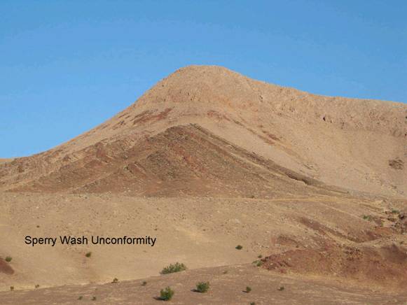
Sperry Wash/Thrust & Unconformity

SE2a. Location/Access:
(35o 42.080’N, 116o 14.681’W) Just north of the Dumont Dunes. Take the left fork 2.7 miles in from CA 127 and travel 0.5 miles up the Amargosa River, keeping to the left at first and then heading to the right bank. You will probably need four-wheel-drive. Or you could walk as it isn’t very far.

Best Time: Anytime, all year.

Geology: In the cliff face on the south side of the canyon, the Precambrian metamorphic complex is thrust over the Crystal Spring formation and on the hillside on the north side of the canyon; the Noonday Dolomite sits in an angular unconformity over the Crystal Spring formation. The canyon itself was cut by the Amargosa River in late middle Pleistocene time (ca. 200-140ka) through a breached, actively uplifting paleodivide between the Tecopa basin and Death valley (Menges, 2008).


features - ecology: wildlife - plants - geography: places - region map - map/sat - roads & trails: route 66 - video - aerial - 360 photos - old west - communities - lodging
ghost towns - gold mines - parks & ...: joshua tree - death valley - mojave preserve - wilderness - native culture - history - geology: natural features - glossary - comments
Country Life Realty
Mountain Homes and Real Estate for Sale

~ Wickless Candles by Scentsy ~
The Most Wonderful Time of the Year ...
... Is here
MH Sleds
Saucer sleds for the snow
Life time guarantee!!!

Abraxas Engineering
privacy
Copyright ©Walter Feller. All rights reserved.