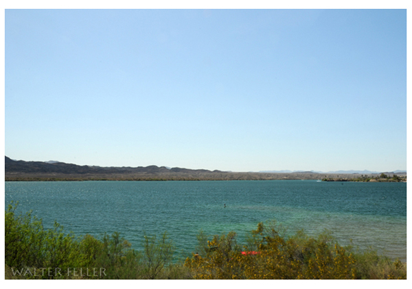
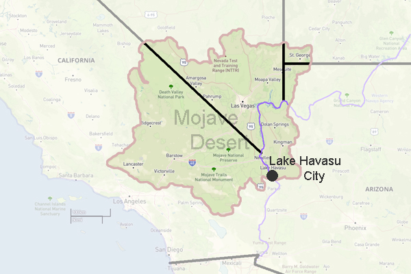
Lake Havasu
Lake Havasu is a city in Mohave County, Arizona. It is best known for its picturesque lake and the iconic London Bridge. The history of Lake Havasu dates back to the mid-19th century when Native American tribes, including the Mojave and Chemehuevi, inhabited the area.
In the late 19th century, the area became a part of the Arizona Territory, and it experienced a surge in population during the mining boom. The discovery of gold and other minerals attracted settlers, and the town of Havasu Springs was established in 1864.
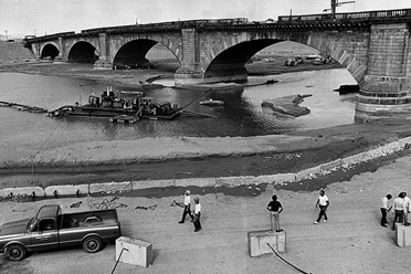
However, Lake Havasu gained national recognition in the 1960s. Robert P. McCulloch, an entrepreneur and business magnate, purchased the London Bridge and transported it to Lake Havasu. The bridge, originally built in the 1830s over the River Thames in London, was dismantled and shipped to Arizona. It was rebuilt brick by brick. This ambitious project put Lake Havasu on the map, and has since become one of the city's most iconic landmarks.

The bridge's construction was followed by a period of rapid lake growth and development. McCulloch saw the area's potential as a tourist destination and invested heavily in infrastructure, including hotels, marinas, and recreational facilities. Today, Lake Havasu is a popular vacation spot, attracting visitors from all over the country.
Lake Havasu has a rich cultural heritage besides its natural beauty and recreational opportunities. The city is home to the Lake Havasu Museum of History, which showcases the history and heritage of the region. The museum houses artifacts and exhibits that tell the story of Lake Havasu's early settlers, Native American tribes, and the construction of the London Bridge.
In recent years, Lake Havasu has continued to grow and diversify its economy. It has become a hub for outdoor activities such as boating, fishing, and hiking. The city also hosts various events and festivals throughout the year, including the annual Winterfest, which attracts thousands of visitors.
Lake Havasu, Arizona, has a fascinating history that dates back to the Native American tribes who first inhabited the area. The city gained national attention with the acquisition and reassembly of the London Bridge, which has become a symbol of Lake Havasu. Today, the city is a thriving tourist destination, offering a unique blend of natural beauty, recreational activities, and cultural heritage.
 Total capacity: 646,200 acre-feet
(797,079,100 cubic meters)
Elevation: 450 feet (137.2 meters)
Reservoir length: 45 miles (72 kilometers)
Area: 20,400 acre-feet or 32 square miles (8255 hectares)
Parker Dam
Parker Dam is a concrete arch structure commonly called the 'deepest dam in the world.' Seventy-three percent of the dam's structural height of 320 feet is below the original river bed; only about 85 feet of the dam's strucural height is visible (its superstructure rises another 62 feet above the roadway across the top of the dam). Parker Dam has a ...Bill Williams River
Topock Gorge
Needles, Ca.
Parker, Az.
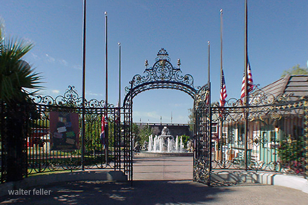
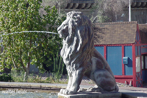
London Bridge