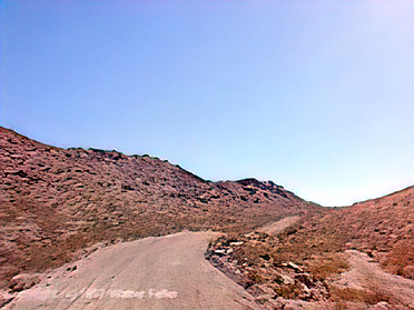
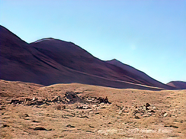
Stoddard Wells Road
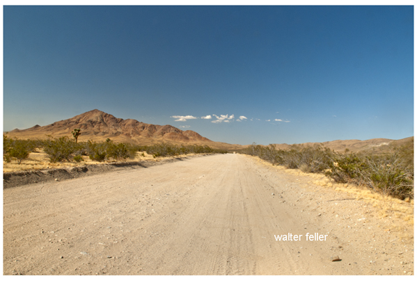
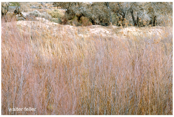
The Mojave River Trail from Little Meadows to Fish Ponds was about 44 miles--a two day trip. There was soft sand along the river and going through it with heavy wagons hauling freight could be rough, but there was plenty of places to stop for water along the way. The road Lafayette Mecham built through the ranges between the two in the early 1870s was on firmer ground and could cut a full day off of the trip.
Mecham's/Huntington's Crossing
Previous to the building of Stoddard Wells Road, the primary route of travel between the Fish Ponds (present-day Daggett) and Little Meadows (present-day Victorville) was by way of the Mojave River and Lane's Crossing. Although it later became known as Stoddard Wells Road, it was Lafayette Mecham, a Mormon pioneer who ran the station at Fish Ponds, who actually built the new route. In 1867 Mecham was awarded a contract to bring 100 tons of hay from Little Meadows to Camp Cady on the Mojave River. Cady was located approximately 20 miles East of present-day Barstow. Rather than use the regularly traveled route along the Mojave River, Mecham cut a more direct road from Little Meadows to the Fish Ponds at Daggett.
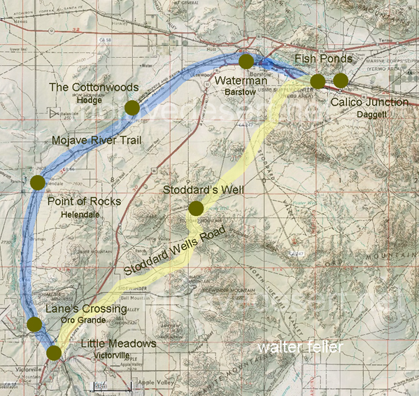
Map showing Mojave River Trail (Blue) and Stoddard Wells Road (Yellow) between Little Meadows (Victorville) and Fish Ponds (Daggett).
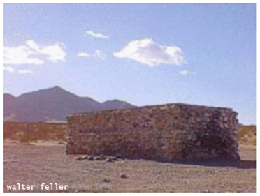
This new route cut off a large arc of the Mojave River route, thus shortening the distance between the two points. In addition, Mecham's road was built on firmer ground, as the Mojave River route had several areas of soft sand, which was difficult for heavily-laden wagons to negotiate. One of the disadvantages of the new route was the lack of water; after Sheldon Stoddard dug a well near this spot, the route became very popular with freighters and other travelers. The road came to be referred to first as Stoddard's Well Road, then Stoddard's Wells, and then finally as Stoddard Wells Road. The new road crossed the Mojave River near present day Sixth Street in Victorville, and linked up with the toll road through the Cajon Pass.
Ref: Plaque Billy Holcomb Chapter of Honorable E Clampus Vitus