Chloride Cliff & Chloride City
In 1871, August Franklin killed a snake, looked down and found some rich looking float. He and his partners followed the rich looking ore on up to its origin and estimated the find at being worth over $1,000 a ton. It wasn't. After they dug down 150 feet and pulled out 100 tons they found the ore to be worth only $28 per ton.
Years later, in 1904, interest in the area was renewed after the discovery of the Keane Wonder Mine, Chloride City was laid out and soon after went bust.
Mining History of Chloride Cliff
This area starts at the Cliff itself on the south, where one may stand on an old mine dump and gaze down upon a spectacular . . .Geology of Chloride Cliff
Southward there is a view down the valley along the Furnace Creek fault zone. The area around Badwater is visible . . .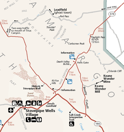
Click here to zoom out to the Death Valley Map
Chloride Cliff
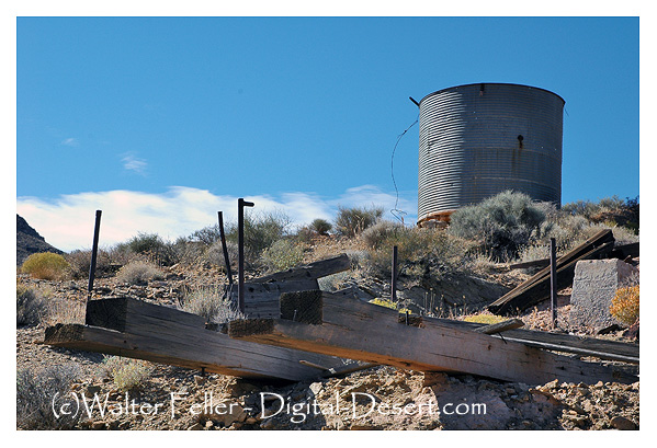
Location and History. Chloride Cliff is in the Funeral Range in the eastern part of Death Valley National Monument, about 20 miles north of Furnace Creek. It is sometimes known as the South Bullfrog district. Gold was probably discovered here at an early date, but the chief period of activity was from around 1900 to 1916 when the Keane Wonder and Chloride Cliff mines were active. There has been minor work since. The Keane Wonder mine is credited with a total output of more than $1 million.
Geology. The district is underlain predominantly by Precambrian schist, quartzite and gneiss, which in places have been cut by dioritic dikes. The ore bodies occur in lenticular quartz veins as much as 30 feet thick. The ore contains fine free gold, pyrite, and galena. Most of the ore contained ounce of gold or less per ton, but the ore shoots were as long as 300 feet.
BULLETIN 193
California Division of Mines and Geology
Sacramento, California, 1970
