Subsection 322An
Lucerne - Johnson Valleys and Hills
This subsection includes mountains, hills, pediments and alluvial plain north of the San Bernardino and Bighorn Mountains and the Pinto Mountain Fault, from the Mojave River east to the linear depression (subsection 322Ao) that stretches from Troy Lake southeastward to Cadiz Lake and beyond. The area of pediment and alluvial plain is greater than that of mountains and hills. It has a hot, arid climate. MLRAs 29f and 30g.
Lithology and Stratigraphy. The bedrock in this subsection is mainly Mesozoic granitic rocks, compared to mostly volcanic rocks to the east. Also, there is Jurassic - Triassic metavolcanic and Precambrian metamorphic rock and some Mesozoic mafic plutonic and Paleozoic marine sedimentary rock. Transported Quaternary deposits are mostly alluvium, but include lacustrine deposits and eolian sand.
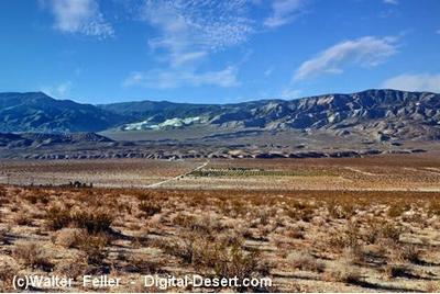
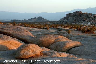
Geomorphology. This section is on steep mountains, moderately steep hills, very gently to moderately sloping pediments and alluvial fans, and nearly level basin floor and dry lake bed. There are “badlands” on eroded Miocene nonmarine sedimentary rocks. The general orientation of the hills is not nearly as clear as that of the major faults, which trend northwest. Some of the larger dry lake beds are, from west to east, Lucerne, Soggy, Melville, Galway, Emerson, and Deadman Lake. The elevation range is from about 1600 feet up to 4873 feet in the Granite Mountains, 5525 feet in the West Ord and 6309 feet in the East Ord Mountains, and 5878 feet in the Rodman Mountains. Mass wasting, fluvial erosion and deposition, and eolian deflation and deposition are the main geomorphic processes.
Soils. The soils are mostly Lithic Torriorthents and Lithic Haplocambids in uplands, and some shallow Xeric Torriorthents and shallow Xeric Haplargids in areas with mesic soil temperature regimes. Typic Haplargids are common on volcanic rocks and on north-facing slopes in granitic terrain. Soils on younger fans and basin-fill are mostly Typic Torrifluvents, Typic Torripsamments, and Typic Torriorthents. Soils on older fans are mostly Durinodic Haplocalcids and Durinodic Calciargids. The soils are well drained, except on poorly drained playas. There are Salorthids on poorly drained playas lacking vascular plants. Soil temperature regimes are mostly thermic, and mesic on the higher mountains. Soil moisture regimes are aridic.
Vegetation. The predominant natural plant community is Creosote bush series, and Big galleta series is common. Joshua tree series is common on pediments and fans and Indian ricegrass series occurs on eolian sand. California juniper series predominates above about 3000 feet near the San Andreas Fault. Black bush series occurs on the higher mountains. Mixed saltbush series is common on basin floor and Iodine bush series and Saltgrass series are present on wet basin-fill and lacustrine deposits.
- Characteristic series by lifeform include:
Grasslands: Alkali sacaton series, Big galleta series, Desert needlegrass series, Desert sand - verbena series, Indian ricegrass series, Saltgrass series.
Shrublands: Allscale series, Black bush series, Brittlebrush series, California buckwheat series, Catclaw acacia series, Creosote bush series, Creosote bush - white bursage series, Desert-holly series, Fourwing saltbrush series, Greasewood series, Hop-sage series, Iodine bush series, Joshua tree series, Mixed saltbush series, Mojave yucca series, Rubber rabbitbrush series, Scalebroom series, Scadscale series, Spinescale series, White bursage series, Winter fat series.
Forests and woodlands: California juniper series, California sycamore series, Mesquite series.
Surface Water. Runoff is rapid from mountains and alluvial fans and slow from basin-fill. All drainage is internal, to closed basins in the Mojave Desert. Streams are dry most of each year. There is temporary ponding on playas, or dry lake beds.
< previous - Mojave Desert - next >
clickable map - select a section to view
Blackhawk Landslide
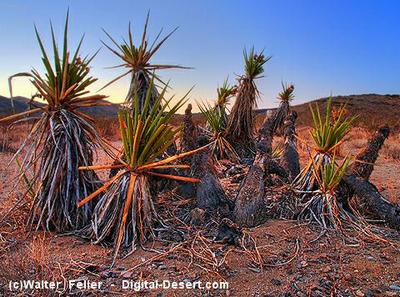
Mojave yucca clone ring
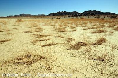
Galway dry lake
Mesozoic granitic rocks, compared to mostly volcanic rocks to the east.