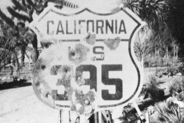
U.S. 395
U.S. Route 395 (US 395) is a U.S. highway that runs from the Canadian border in Laurier, Washington, to the southern terminus at Hesperia, California. It is one of the longest U.S. highways, stretching approximately 1,300 miles (2,092 kilometers).
States Traversed:
US 395 passes through several states, including Washington, Oregon, Idaho, Nevada, and California.
Scenic Route:
The highway is known for its scenic route through the eastern Sierra Nevada mountain range in California. It offers breathtaking views of the mountains, lakes, and desert landscapes.
Mojave Desert/California Cities and Towns:
Bishop, California
Independence, California
Lone Pine, California
Ridgecrest, California
Intersections with Other Highways:
US 395 intersects with several other U.S. highways and state routes along its route, providing connectivity to various regions.
Economic Significance:
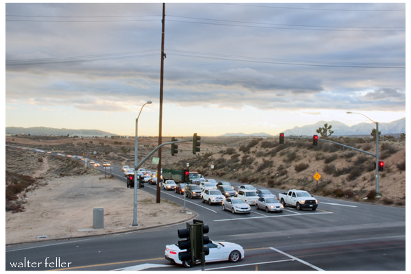
US 395 plays a crucial role in facilitating transportation and commerce, connecting various communities and providing access to important economic centers and natural resources.
Recreational Opportunities:
The highway passes through areas with recreational opportunities, including national parks, forests, and outdoor activities such as hiking, skiing, and fishing.
Historical Significance:
Some segments of US 395 have historical significance, and the route has evolved over the years to accommodate changing transportation needs and developments.
Transportation Corridor:
US 395 serves as a vital transportation corridor, linking rural and urban areas while also providing access to scenic and natural attractions.
Travelers along U.S. Highway 395 can experience a diverse range of landscapes and attractions as they traverse the various regions and states along the route.

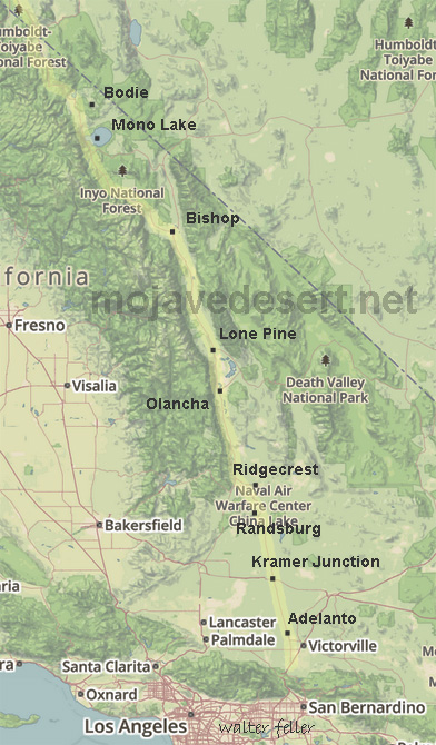
Victor Valley - Hesperia - Victorville - Adelanto - Kramer Junction - Atolia - Red Mountain - Johannesburg - Randsburg - Ridgecrest - Fossil Falls - Owens Valley - Cartago - Lone Pine - Independence - Big Pine - Bishop - Mono Lake - Bodie
Map of Highway 395