| Digital-Desert : Mojave Desert |
Photography by Walter Feller |
Visit us on Facebook |
| features - ecology: wildlife - plants - geography: places - region map - map/sat - roads & trails: route 66 - old west - communities - miscellaneous |
| ghost towns - gold mines - parks & ...: joshua tree - death valley - mojave preserve - wilderness - native culture - history - geology: natural features - glossary - comments |
|
|
Wilderness - MAP 
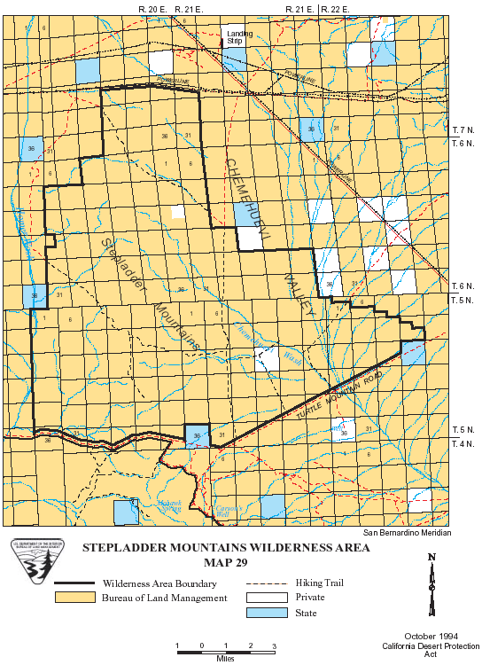
Stepladder Mountains >> Map #29 Stepladder Mountains Wilderness SIZE: 81,600 acres LOCATION: San Bernardino County; 15 miles southwest of Needles, California ACCESS: To access the southern boundary of this wilderness, go south on U.S. Highway 95 from Needles for approximately 25 miles to Turtle Mountain Road. Follow the road for about 2 miles west, which forms the southern boundary for the Stepladder Wilderness. Careful driving is needed when crossing the sandy Chemehuevi Wash. High clearance vehicles are recommended.
|
| features - ecology: wildlife - plants - geography: places - region map - map/sat - roads & trails: route 66 - old west - communities - miscellaneous |
| ghost towns - gold mines - parks & ...: joshua tree - death valley - mojave preserve - wilderness - native culture - history - geology: natural features - glossary - comments |
|
Country Life Realty Mountain Homes and Real Estate for Sale |
~ Wickless Candles by Scentsy ~ The Most Wonderful Time of the Year ... ... Is here |
MH Sleds Saucer sleds for the snow Life time guarantee!!! |
|
Abraxas Engineering privacy |
Copyright ©Walter Feller. All rights reserved. |