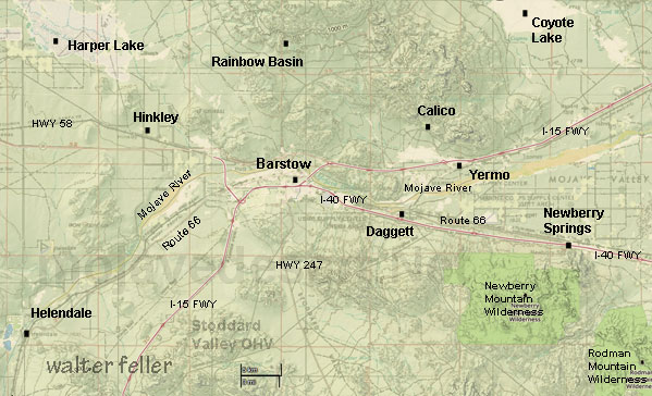
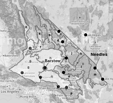
Barstow Area
Barstow lies in the intersection of the three largest ecosubsections in the Mojave Desert;
High Desert Plains & Hills (322Ag), Mojave Valley - Granite Mountains (322Ah) and Lucerne - Johnson Valleys and Hills (322An).
The topology is generally the same with mountains, hills and plains in gradually differing combinations throughout all three districts. There is 322An (Lucerne) with steep hills but more pediments and plains, 322Ag (High Desert) to the west having mostly alluvial plains. 322Ah reaches into the deep heart of the Mojave and includes small mountain ranges as well as an even distribution of hills and alluvial plains.
The flora and fauna seem the same with populations varying acccording to favorable conditions. Whiptails in the shade, zebra-tails in the hot, sunny areas, etc. The Mojave fringe-toed lizard does not seem to have edged itself away from classic sand dunes to the east.
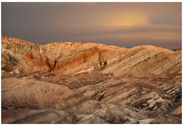
The geology of the Barstow region is spectacular and worthy of its world fame.
The climate in all three ecosubsections is similar with the exceptions of the south and west slightly milder than the area northeast toward Death Valley.
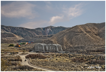
Afton Canyon
California's 'Grand Canyon'Barstow, California
Bonnie Keebler-Harris Grave
A note was found in an amber bottle on the grave that stated, ...Casa del Desierto
In 1911 Fred Harvey of the Harvey House system opened up the Casa Del Desierto. ...Calico Ghost Town
Fun and popular old west ghost town attraction. Gun fights, train rides, old silver minesCalico Cemetery
Some of 'em plugged, all of 'em planted. Old west graveyard.Coyote Dry Lake
Popular dry lake film location. Seen in countless movies, videos and commercialsDaggett
Renamed to Daggett from Calico Junction - Pioneer cemetary and historic tourHarper Lake
Natural area, big, quiet and beautifulOwl Canyon Campground
Campground near Rainbow Basin with beautiful rock formations of its ownPisgah Lava Crater*
Lava crater near Hector Mine created by volcanic eruptionPisgah Lava Tube*
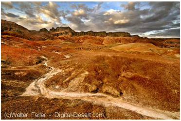
Underground in a lava field.Rainbow Basin
National Natural Landmark - Powerful colors abound in this geologic wonderRoute 66 Barstow to Amboy*
Rags on radiator caps and eat and get gas along the historic Route 66 from Barstow to AmboySlash X Ranch Cafe
The "Cattle Baron" Lee Berry and his ranch hands had no place to drink and carouse for over 10 years after his empire was on its way -- Then they built the Slash X Cafe.Silver Bell Mine*
Mine and camp hidden off in a canyon.Stoddard Wells Road to Victorville
The old 'shortcut' between Barstow and VictorvilleSuperior Dry Lake (East)
Photo tour of eastern-most lake in chain of dry lakes across the Superior Valley north of BarstowSuperior Dry Lake (Central)
Photo tour of center dry lake in chain across the Superior Valley north of BarstowCoolgardie
Black Canyon
Lake Dolores Ruins
Yermo
Exploring the Enchanting Charm of Barstow
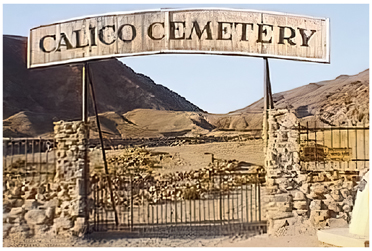
Calico Cemetery

Superior Lake (central)
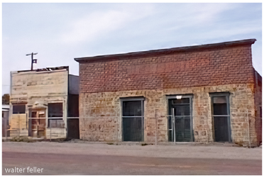
Daggett, Ca.
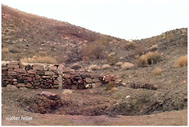
Silver Bell Mine
Owl Canyon
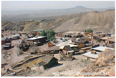
Calico Ghost Town
Afton Canyon
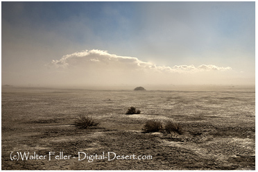
Coyote Lake
.jpg)
Slash X