Freeways & Highways
Highway 190
California State Route 190 (SR 190) is a significant highway in California, known especially for its traverse through the Death Valley National Park. Here's an overview of its history and points of interest: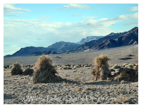
Devil's Cornfield - Death Valley

History
Early Development: The history of SR 190 is closely linked to the early 20th-century development of roads in the Death Valley area. Initially, these were simple dirt tracks meant for wagons and early automobiles.Establishment: The route that would become SR 190 was first established in the 1930s. It was originally designated as a state highway to facilitate travel to the national park, which was gaining popularity.
Paving and Improvements: Over the decades, the road was gradually paved and improved. The challenging terrain of Death Valley required significant engineering efforts to make the route passable year-round.
Modern Route: Today's SR 190 is a well-maintained highway that provides a vital link across the Death Valley National Park, connecting various communities and points of interest.
Points of Interest
Olancha: The western terminus of SR 190, a small town offering views of the Sierra Nevada and access to the Owens Valley.Panamint Springs: A small community where travelers can find services. Nearby are the Panamint Dunes and Darwin Falls, a rare desert waterfall.
Father Crowley Vista Point: Offers panoramic views of the Panamint Valley and is a popular spot for photographers.
Towne Pass: The highway reaches an elevation of 4,956 feet at Towne Pass, providing stunning views of the surrounding desert landscape.
Stovepipe Wells: A small desert community in Death Valley, known for its rustic resort and proximity to the Mesquite Flat Sand Dunes.
Badwater Basin: The lowest point in North America, located just off SR 190. The salt flats here offer a unique and otherworldly landscape.
Zabriskie Point: Known for its erosional landscape, Zabriskie Point offers one of the most famous views of Death Valley's rolling, multi-hued badlands.
Dante's View: Though a detour from SR 190, it's worth the trip for its breathtaking panoramic views of the valley.
Death Valley Junction: The eastern terminus of SR 190, this tiny town is home to the historic Amargosa Opera House and Hotel.
Traveling along SR 190 offers a journey through some of the most dramatic and starkly beautiful landscapes in California, showcasing the extremes of desert environments and the resilience of life and human settlements in such challenging conditions.
OpenAI. (2024). ChatGPT (4) [Large language model]. https://chat.openai.com
Running from U.S. 395 at Olancha east through Panamint and Death Valley terminating at SR 190 at Death Valley Junction. AKA Death Valley Scenic Byway.
Death Valley Toll Road

Stovepipe Wells
